
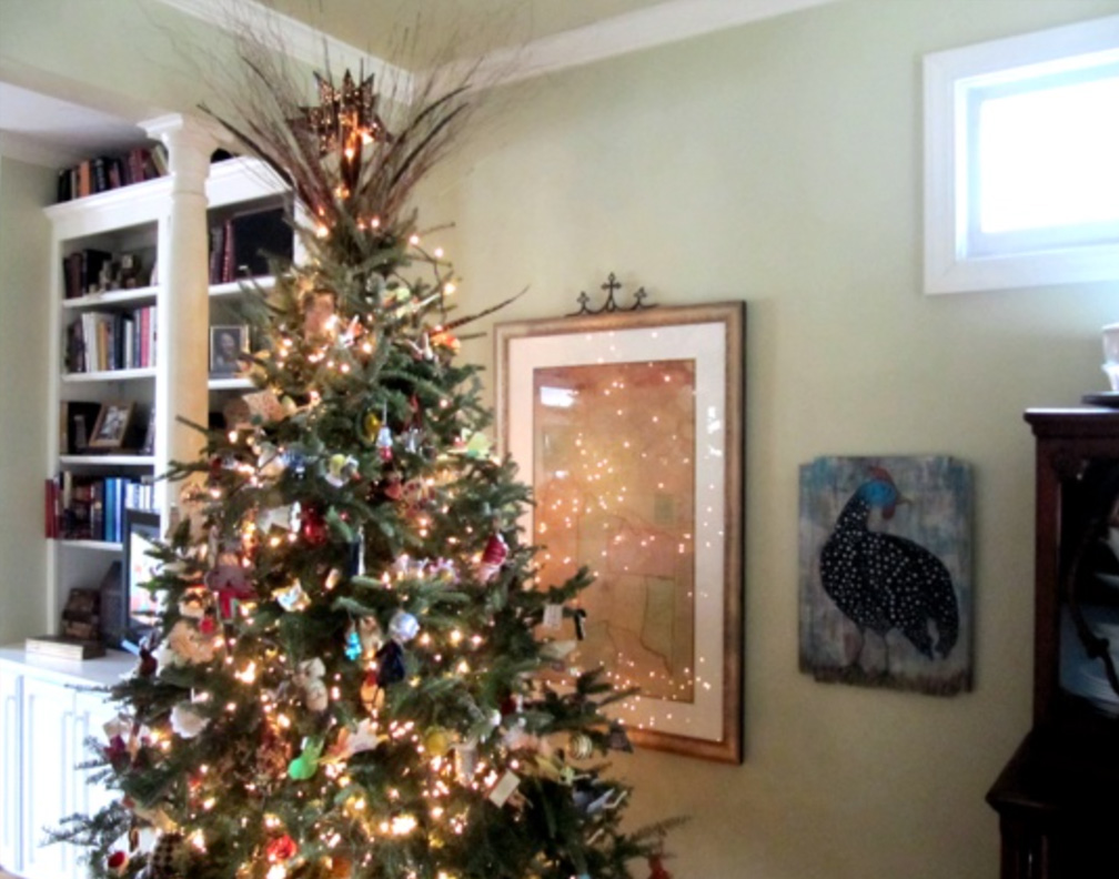

Today I finished uploading the information I have been able to locate so far on the Watridge family. The 1877 Haywood County map that hangs on the wall in our dining room, currently behind the Christmas tree, was especially helpful while I was working on this branch of the family.
In this close-up of District Five, you can see the farms of several members of the Watridge family, along with others who were also my direct ancestors. For orientation, Zion Baptist Church sits near the bottom of the map. “Mrs. A. Lovelace” was likely the widow of Thomas A. Lovelace (1812-1876), and the location of that farm appears to have been roughly where the home of my grandparents, Guy Clinton Lovelace (1916-1997) and Virginia Brantley Lovelace (1917-2007), stood and where my uncle, Bill Lovelace, lives today.

Following the road to the northeast is the farm of John Hardy Cobb (1798-1880), along with several others from the Cobb family. Daniel Washington Watridge (1835-1880) owned the farm next to that of John Charles Warren Cobb (1830-1914).
Farther northeast, near what is now the corner of Poplar Corner Road and Dr. Hess Road, was the farm of Dorsey H. Watridge (1840-1890). Across the road was the farm of his nephew, William Henry Watridge (1846-1900), who was married to Zilpha Elizabeth Castellaw (1850-1922). Also farming in that area were members of the Castellaw family, including Jeremiah Fletcher Castellaw (1847-1915) and Thomas Jefferson “Tom” Castellaw (1871-1940).


Leave a Reply